https://www.google.com/maps/dir/16667+S+37th+St,+Phoenix,+AZ+85048/Canyon+Lake,+Arizona/@33.4140201,-111.8577662,11z/data=!3m1!4b1!4m13!4m12!1m5!1m1!1s0x872b0486fe54b48d:0x34b362454c90ee07!2m2!1d-112.003092!2d33.294126!1m5!1m1!1s0x872bc6b1b969dbfd:0x194e9203f92d7647!2m2!1d-111.4365318!2d33.5422121
Wow!!!!! It worked!!!! Since I didn't have anything better to do I drove to Canyon Lake. I was also going to drive to Apache Lake via the "short" route. See attached link. The road to Canyon is paved. The last 10 miles of road to Apache is unpaved washboard packed dirt. I went 1 mile down the dirt and turned around. I mean serious washboard, like rattle the truck apart.
I can get to Canyon Lake in 1 hour. It's a small lake probably 3 miles long then becomes the Salt River. The road to the lake has a lot of sharp turns cause you are in the mountains. The scenery is nothing short of jaw dropping amazing. I hope the pics do it justice. I pulled over quite a few time to get pics.
I will start attaching pics and descriptions shortly.
First is Superstition Mountains on the way. I am just out of the town of Apache Junction.
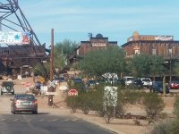
Second is the small town (population 6) of Tortilla Flats. Gift shop and restaurant/bar. More on that place later.
Third is a magnificent canyon view from a pull off place on the road to the lake.
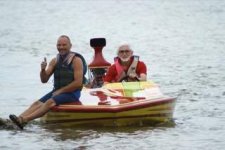
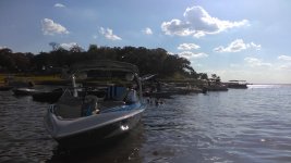
Four is Canyon Lake. That is the whole lake before turning into the Salt River up and down stream.